Webinar on:
Presented By

Hosted By

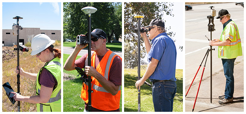
Join the Webinar and Learn:
- How to achieve centimeter accuracy when GNSS signal is obstructed using smart devices, mapping apps and external GNSS devices.
- Laser mapping methods to maximize productivity.
About the Hosts

Derrick Reish
Sr. Product Manager, Laser Technology, Inc.
Derrick earned a BS in Technologies Studies with emphasis in product development. Over the last 20 years he has been in the professional management and mapping industry as a Senior Product Manager for Laser Technology, Inc. With a focus on understanding business needs and providing field to office product solutions for industries such as electric utilities, public works, forestry, construction, and mining.

Steve Colburn
Applications Training Specialist, Laser Technology, Inc.
Steve earned his BS in Geophysics and has previously worked in the Oil & Gas industry where he learned the Surveying trade. Steve is a true pioneer in product development, marketing, sales, service and support at Laser Technology, Inc. and has been doing it for over 25 years.