

Rising Stars Biography
Aimee Barciauskas
Earth Data Team Lead, Development Seed, USAAimee works on multiple projects with NASA to expose their vast archives of Earth Observation data and make it usable to scientists via open science platforms. She supported the NASA Space Apps COVID Challenge by putting up a number of great datasets as Cloud Optimized GeoTIFF’s on the AWS Registry of Open Data. Currently, as a technical lead on the data system for the Multi-Mission Algorithm and Analysis Platform (MAAP), she manages a NASA cloud platform and data store to support biomass research on an open science platform.
She is an engaged member of the NASA Earth Sciences community, working with scientists to better understand their workflows and expose new technologies to support them. Aimee participates in the Earth sciences community through events such as UW’s GeoHackweek, the ESIP OGC Subsetting sprint and speaking and attending industry conferences, such as AGU. This engagement has developed an understanding of NASA’s and its researchers technical and scientific challenges and goals which makes her uniquely positioned to develop the right technical solutions.
Aimee cares deeply about using data, data science and machine learning to drive positive social change. She’s a board member of OpenAQ and former chapter leader of DataKind DC.
Alexander Gunkel
Founder & CEO, Space4Good,The NetherlandsAlexander founded Space4Good, where he works with his team on regenerative agroforestry platforms, environmental crimes predictions, post-conflict ammunition detection, precision-agriculture services, disaster management systems, and other geospatial applications to improve life on earth. Prior to Space4Good, Alexander co-founded his first venture, Skytree, which is working on a CO2 recycling system originating from the International Space Station (ISS) as well as RoadEO which develops predictive maintenance solutions for road infrastructure.
Alexandra Fredericks
LiDAR Coordinator/Associate Geospatial Liaison, US Geological Survey, USAAlexandra (Xan) works with the US Geological Survey (USGS) as the Associate National Map Liaison to Florida, Puerto Rico, and the US Virgin Islands for the National Geospatial Program and as the Lidar Coordinator for the Coastal and Marine Hazards and Resources Program. She strives to help people, from USGS scientists and the Nation’s residents, to a variety of Federal, State, and local agencies, discover and coordinate geospatial data to empower location intelligence through outreach, collaboration, analysis, and data visualization.
Xan is a GISCI-certified GIS Professional and is currently serving as the 2019-2021 GIS Division Director for the American Society for Photogrammetry and Remote Sensing (ASPRS) and as the 2020-2022 President of the Florida Region of ASPRS. She is also an active member of the Urban and Regional Information Systems Association (URISA), serving as a member of the 2020-2023 URISA Board of Directors.
Xan has been the Chair of the USGS Lidar User Group since 2017, a Co-Chair of the Florida Coastal Mapping Program since 2019, and is also a member of the USGS Geospatial Information Response Team. Having previously specialized in the post-processing and validation of EAARL/EAARL-B data, she has disseminated over 75 LiDAR-derived geospatial datasets with FGDC-compliant metadata. Xan earned an MGIS from Pennsylvania State University in 2020 and the culmination of her education and experience allows her to help facilitate the effective coordination, communication, and dissemination of geospatial data and information.
Alison DeGraff Ollivierre
Cartographer, National Geographic Maps, USAAlison (Aly) DeGraff Ollivierre works full time as a Cartographer for National Geographic Maps, focusing on developing their Trails Illustrated topographic outdoor recreation map products. In her free time, she conducts freelance cartography work as Tombolo Maps & Design, works part-time as a Senior Cartographer for BirdsCaribbean, and serves on the Executive Board of the International Society for Participatory Mapping. She has authored a number of publications primarily focused on participatory mapping, geomorphology, and bird-life in the Eastern Caribbean. Her two most recent major publications include a forthcoming chapter on Participatory Mapping being published in Wiley and the American Association of Geography's "International Encyclopedia of Geography: People, the Earth, Environment and Technology" and a co-authored avian field guide entitled "Birds of the Transboundary Grenadines". Aly's cartographic work has received numerous awards and been displayed in various museums across the globe throughout her 10+ year career.
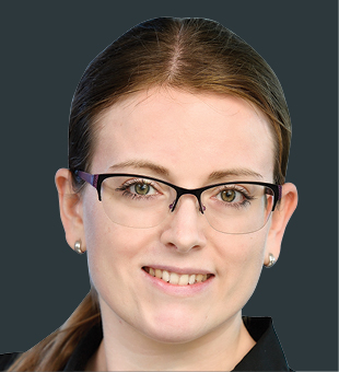
Anita Graser
Scientist, Austrian Institute of Technology, AustriaAnita is a spatial data scientist, open source advocate, and author. Her areas of research interests and expertise include: algorithms and systems for spatial data analysis and visualization, specializing on mobility/transport research topics, particularly movement data analysis. Besides her academic papers, Anita has also authored several popular books about QGIS, the most widely adopted desktop open source GIS. She is the developer of MovingPandas, a Python library for movement data analysis, member of the QGIS project steering committee, and winner of the Sol Katz Award 2020 for Geospatial Free and Open Source Software. Find out more at: https://anitagraser.com/about/
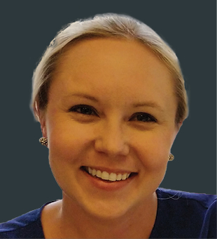
Annina Koskiola
Co-Founder & CEO, Proximi.io, FinlandAnnina is an archeologist and museum exhibition curator by education, who got pulled into the field through her Master’s thesis research on museums and mobile applications. She co-founded Proximi.io in April 2014. Proximi.io is the first unified positioning platform. The solution bundles together under one SDK all mobile positioning technologies and related functionality, to be easily integrated into any application. Their versatile technology is used in locating and guiding people indoors and outdoors in shopping malls, amusement parks, office buildings, museums and across cities. Proximi.io operates globally, with customers ranging from Aruba to Australia.
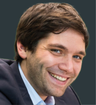
Benjamin D'Incau
Senior Data Scientist, Procter & Gamble, SwitzerlandBenjamin leads the development of P&G’s proprietary Location Analytics and Business Intelligence algorithms (Neighborhood Analytics) used across the globe. The algorithm blends geographic data with business knowledge and insights to reveal the relationship of location to people, events, transactions, facilities and assets.
For the past 3 years, Benjamin has been developing tools and driving adoption of processes that optimize P&G sales and marketing, leading to significant value creation for the company over 2019-2020. His role in developing geospatial tools and scaling his program from one pilot to 30 markets globally has been recognized by P&G CEO Award in 2019 and a Harvard Business Review case study in 2020.
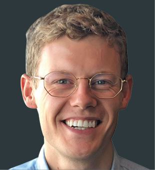
Callum Smith
Senior Consultant, EY Analytics, New ZealandCallum recently began a new role at EY in their Data and Analytics team. He's working hard to identify opportunities for clients that leverage and integrate GIS and Data Science principles. Before moving to EY, Callum was with an engineering design consultancy, where he championed the increase uptake of GIS on major infrastructure transport projects in New Zealand, especially in relation to BIM and GIS integration. During this time, he successfully developed a COVID-19 Essential Supplies Delivery Management App for the local NZ Iwi partners of the Manawatu Highway Upgrade Project.
Callum is passionate about diversity and inclusion, particularly in the LGBTI+ (Lesbian, Gay, Bisexual, Transgender, and Intersex) space. In 2018, Callum set up the networking and support platform, LGBTI+ in STEM (Science, Technology, Engineering, and Mathematics) NZ. Through his work with LGBTI+ in STEM NZ, Callum has initiated crucial LGBTI+ inclusion discussions with the wider engineering industries of NZ, one of the less inclusive of the four STEM industries. These conversations, initiated at panel speaker events and webinars, have resulted in four of the largest engineering consultancies becoming Rainbow Tick accredited, signaling to the LGBTI+ community that these organizations are a safe environment.
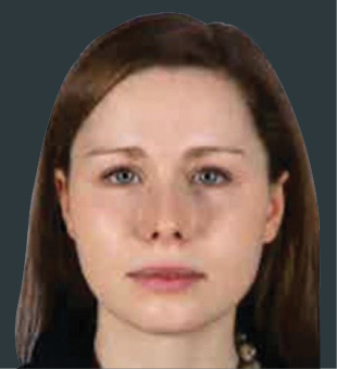
Christin Walter
Strategic Foresight Specialist, Ordnance Survey, UKChristin managed, researched and wrote the 3rd United Nations report on "Future Trends in Geospatial Information Management: the five to ten year vision". This involved her reaching out to a big international audience (government, academia, business, civil society and individuals across all UN nations), collecting their thoughts, running workshops, analyzing findings and drafting the document. The Report was endorsed by the international community in September 2020, soon after becoming influential, globally – delivering real impact in helping geospatial organizations develop strategies and justify expenditure.
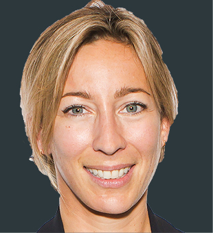
Claire Owen
Co-Founder & CTO, DronePrep, UKClaire co-founded DronePrep in early 2020. To date, DronePrep has delivered a number of pioneering projects in the UK including UK’s first medical drone delivery with the NHS in response to Covid-19 from Isle of Wight to Southampton; innovative drone air-bridge with inter-island connectivity from Cornwall to the Isles of Scilly; and UK’s first drone package deliveries on Isle of Mull in partnership with the Royal Mail, What3Words and Skyports. Recently Claire was elected onto the Ordnance Survey Partner Advisory Council. She is a member of Geovation and currently on Cohort 3 of BetaDen scale-up accelerator. Claire is now developing a full software platform with geospatial data to map out all of UK’s low level airspace for drone use.
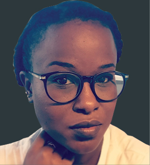
Clara Mundia
Location Analytics Manager, Dalberg Research, KenyaClara has built a unique team of GIS specialists in Kenya. Under Clara's guidance, the team has built what is likely Africa's most comprehensive geospatial research database. Off this asset, Clara and the team help startups scale in the right places; businesses to understand how their markets change with different product categories; advise governments and international donors on how to build back better after Covid; how to coordinate efforts to combat youth unemployment on the continent and many other location-based insights across various sectors. The entire work is seamlessly embedded in a context of strategy consulting to enhance its adoption.
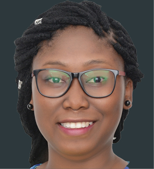
Cyhana Lena Williams
Program Manager, Microsoft, NorwayCyhana co-founded the African Women in GIS, an online community for African women around the world who work, study, or are enthusiasts of geo-related fields alongside Chidimma Umeogu from Nigeria.
Before moving to Microsoft in 2020, Cyhana worked as a GIS Mapping Specialist at an FMCG company, where she created efficient delivery route maps for product distributors and managed the company’s customer geodata. The GIS integration in the company allowed it to be listed as part of the 2020 Esri Special Achievement in GIS Awards during the 2020 Esri User Conference.
Among her roles in various projects during her National Service, she coordinated a Pest and Disease Management System project, which was presented at various institutions and won the Frontier Innovation award during the Fall Army Worm Tech Prize in 2018.
Cyhana was also listed in the Esri 'Women and GIS - Volume 2’ book.
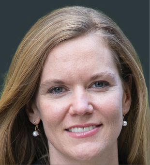
Eleanor Stokes
Senior Scientist and Lead of Strategic Operations, Universities Space Research Association (USRA), USAThe Visible Infrared Imaging Radiometer Suite (VIIRS) nighttime sensor is one of NASA's flagship remote sensing instruments currently on board the Suomi-NPP satellite spacecraft and future JPSS missions. It is used to create NASA’s first nighttime lights product, the Black Marble, which provides data on the dynamics of human settlements and the interactions between urban activities our Planet's vital signs. Eleanor has been a major force in developing the methodologies and techniques used to develop and validate the new VIIRS nighttime lights dataset, as well as in exploring its early applications.
Black Marble has spawned hundreds of social and environmental research projects, many of which have been led by Eleanor. In her current work, she is examining the seasonal changes in nighttime lights over thousands of cities worldwide to assess impacts of the COVID-19 pandemic on urban economic activities.
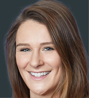
Elizabeth Carr
Founder & CEO, Planet Patrol CIC, UKElizabeth (Lizzie) founded Planet Patrol – a non-profit organization that provides the general public with a location-based app to record litter data worldwide. Elizabeth is responsible for the recording of the locations of over 300,000 pieces of litter by over 25,000 volunteers across 82 countries, providing rich insights into the distribution of litter on the planet. The litter impact report was shared with government policy teams and public, leading to ongoing conversations to use data to shape policy relating to litter and the Extended Producer Responsibility (EPR) for packaging and deposit return scheme.
Emil A. Cherrington
Research Scientist, University of Alabama, USAEmil is a Research Scientist with the University of Alabama in Huntsville and serves as the Regional Science Coordination Lead for West Africa for NASA’s SERVIR Science Coordination Office. In his current and earlier positions with SERVIR – a joint development initiative between NASA and the U.S. Agency for International Development (USAID) – he has focused on helping strengthen the application of Earth observation data in developing nations. He is also an avid science communicator, and in 2019 was recognized by the NASA Marshall Space Flight Center for “taking NASA public.” Emil has over sixteen years working in geographic information systems and remote sensing, and has worked at the national level with the Government of Belize, and at the regional level in Central America via work with the Water Center for the Humid Tropics of Latin America and the Caribbean (CATHALAC). He holds a double Ph.D. in forest ecology, with a focus in remote sensing, from AgroParisTech (France) and the Technische Universität Dresden (Germany). His work in Africa and Central America, have helped him advance his aspirations of ensuring geospatial technologies help people everywhere, not just in developed nations.
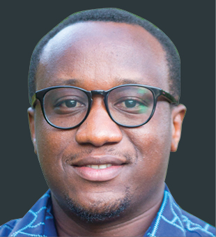
Ephraim Danford
GIS/Data Specialist, USAID Tanzania Data for Development, TanzaniaEphraim leads the development of an online interactive GIS dashboard to visualize and track reported cases of COVID-19 in Tanzania in real time. The dashboard provides USAID researchers, public health experts, and program personnel with a user-friendly tool to track the outbreak and to facilitate decision making and health status insight in the country for USAID Mission purpose. The dashboard reports cases at the district, regional and national level for all neighboring countries and for Tanzania, all eight neighbors of Tanzania as well as Sudan and South Sudan.
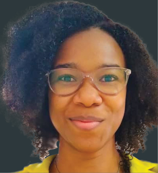
Esther Onyekachi Moore
Country Manager, Sambus Geospatial, NigeriaEsther managed the team at Sambus Geospatial that created the mobile application for the Nigeria Center for Disease Control that automated the recording and tracking the COVID-19 cases in Nigeria when the virus took off within the country in 2020. Her involvement in African Women in GIS as well as Women in Geospatial gives her the opportunity to interact with other women in the geospatial industry and constantly offer encouragement and discover learning opportunities to new trends, and also seek to groom other young women in the industry who are coming after her. She is at the verge of launching her own startup - TGG Consulting Group, a consulting firm which will seek to provide a platform (theGISgirl) to create and groom GIS ideas into location intelligence solutions.
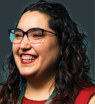
Gala Camacho
Data & Analytics Consultant, UKGala was introduced to geospatial data working on the automation of fiber optic network design, while studying a MSc. in Mathematics with a focus on Discrete Mathematics and Operations Research. Since then, she has worked across different projects within civil infrastructure, from transportation through to utilities. Most recently she was the Head of Analytics at an Australian startup in the civic and property tech space. There, she led the data and analytics strategy and implementation, was in charge of the research and development of their core analytics IP, and the delivery of special projects with bespoke urban analytics. Gala enjoys building analytics collaboratively, in a multidisciplinary setting and with a positive social purpose. She has recently moved to the UK where she has been spending time getting to know the urban analytics industry, the open data space, and exploring new opportunities. Gala is committed to elevating the voices of those who are marginalized – mostly, but not limited to, the technology space. She is currently on the board of Women in STEMM Australia.
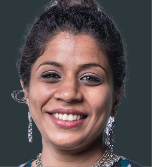
Gopika Suresh
Research Fellow, Earth Observatory of Singapore/Asian School of the Environment, Nanyang Technological University, SingaporeAs a research fellow at the Asian School of Environment and Earth Observatory of Singapore (EOS), NTU Singapore, Gopika focuses her research on improving methods and developing algorithms to monitor and map coastline changes and inundation in Southeast Asia using SAR and multispectral remote sensing data. As part of her research, she has developed a Python algorithm that automatically detects the coastline and helps identifyies coastal inundation from SAR images.
While working for the German Federal Agency for Cartography and Geodesy, Gopika developed seven methods to extract land cover and land use information, using various SAR techniques like Amplitude, texture, PolSAR and InSAR techniques as well as using a combination of SAR and multispectral data. She also developed methods to help measure Sustainable Development Goal (SDG) indicators for air quality and change in extent of water related ecosystems using Copernicus products and data. She is the co-organiser of the twitter initative SistersofSAR which aims at promoting women in the field of SAR remote sensing. She is on the editorial board of the section "Discoveries in Remote Sensing", of the journal Remote Sensing, which aims at increasing inclusion and representation in the field of Remote sensing. She is the founder and executive coordinator of the 500Womenscientists-Singapore Pod, which aims at promoting Women in STEM.
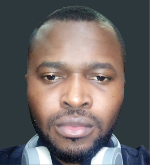
Ifeanyi Ike
Coordinator, GIS Services, eHealth Africa, NigeriaIfeanyi was very instrumental to the national response to COVID-19 in Nigeria through the Nigeria Centre for Disease Control (NCDC). He designed the tool for the assessment of Healthcare workers preparedness for COVID-19 response in Nigeria. Ifeanyi designed the web and mobile geospatial analytics tools for the tracking of COVID-19 outbreak in country, which is hosted on the NCDC website. He has also designed the data collection platform for the FFX study in Nigeria, the dashboard for the COVID-19 PPE distribution in Nigeria, sampling scripts for the National Micronutrient and Food Consumption survey in Nigeria, and designed M&E tools for the tracking of World Bank 100m grants to States in Nigeria.

Ishveena Singh
Lead Editor, Geoawesomeness, IndiaEffective communication and storytelling are deeply underrated skills in the geospatial domain and Ishveena is someone who leverages them well to promulgate the real-world value of the GIS technologies both within the industry and across the wider value chain. As the Lead Editor of a popular location technologies blog, Ishveena has consistently churned out articles that satisfy curiosity, spark real conversations and shine a light on the unsung heroes of the GIS industry.
Further, as an independent consultant to some of the world’s biggest drone manufacturers and service providers, Ishveena regularly brings to fore the unbeatable impact of commercial drone technologies through inspiring use cases. This Economics graduate has also made it her mission to promote the journey and works of female drone pilots through an online community initiative that aims to increase the participation of women in the UAV industry.
In addition to over a decade of experience in both mainstream journalism and digital media, Ishveena says it’s her innate sense of curiosity and creativity that have allowed her to provide a greater variety, depth, and context to geospatial content writing. “Distilling complex information into a simple, digestible, and compelling narrative is both the most demanding and satisfying aspect of my job".
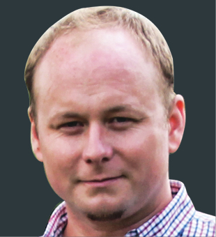
Jakub Karas
Co-founder & CTO, UpVision, Czech RepublicUpVision is the biggest and oldest drone service provider in the Czech Republic. With 18 years’ experience in Photogrammetry, Remote sensing, mapping, GIS, UAV, LiDAR and new technologies, Jakub is currently the President of Unmanned Aerial Industry Alliance of the Czech Republic; Czech drone industry representative in European Union Aviation Safety Agency (EASA); drone industry representative in International Society for Photogrammetry and Remote Sensing (ISPRS), and member of the Board of Directors in UVS International. Jakub also serves as mentor for the Drones, Space, Photogrammetry and Earth Observation in ESA BIC Prague. He has conducted various research projects in mapping and drones with almost all Czech universities and research institutes, and authored several books about drones in the country.
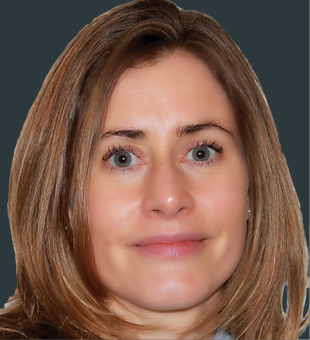
Kate O'Loan
GIS Specialist, AustraliaKate was the GIS manager for the John Holland CPB Ghella Joint Venture who delivered the Sydney Metro City & Southwest Tunnel and Station Excavation Works - a 15.5 kilometer tunneling project underneath Sydney, including the city center and iconic Sydney harbor.
For the project, Kate took on the enormous task of developing GIS solutions for the 500 plus person project team, including site engineers, community consultants, design consultants and construction subcontractors, many of whom had no experience with using spatial systems.
Aligning data and workflows for digital information management was key within the project and Kate worked with Building Information Management team to create sub surface 3D visualizations of the project. Collaborating with the project information management team, Kate also developed a “Tunnel Tracker Tool”; this tool provided a map-based visualization of real-time data from the five huge tunnel boring machines and was embedded in the project GIS.
The tool was invaluable to the project team in terms of planning and monitoring progress and was a ground-breaking use of spatial information in the tunneling industry.
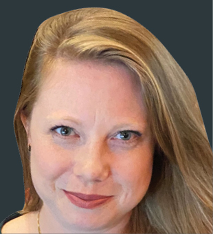
Katie E. Pickett
Program Manager, Cadasta Foundation, USAKatie trains and supports communities to use geospatial tools to map and document their land and resource rights, having advanced land tenure security for over 2.6 million people in 32 countries. Not only is Katie making a difference in the land rights space, she is sharing her love of geospatial tools and knowledge to a whole new generation of vulnerable youth, women, farmers, Indigenous peoples, forest dwellers, and urban slum dwellers around the world who have learned the power of GIS and data analysis to improve their lives.
Katie has taken her talents to many corners of the world, often in difficult and challenging environments. This includes the use of GIS tools and analysis for post-disaster recovery in Puerto Rico with FEMA; management and design of the Middle East and North Africa regional administrative unit geodatabase project and production of operational maps for Whole of Syria (WoS) for UNHCR in Jordan; GIS support to CRS Farmer-to-Farmer programs in Kenya; the development and design of replicable GIS products for sustainable small shareholder cocoa farm land tenure certification projects for Meridia in Ghana and Indonesia; and the use of GIS as a U.S. Census Enumerator in a post-hurricane recovery area of her home state of Louisiana.
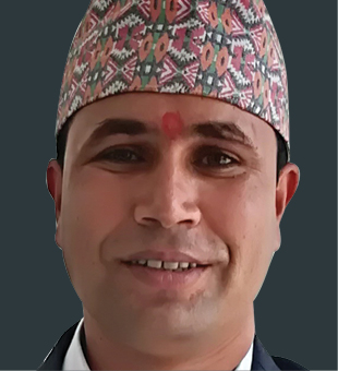
Khimlal Gautam
Chief Survey Officer, Survey Department, NepalKhimlal was the lead surveyor on the re-measurement of Mount Everest in 2019. He is certified as the only civil servant and surveyor in the world who has scaled the mountain twice. He is also the highest ranking government official to have summited the mountain from Government of Nepal til date. His Masters is in Geographical Information Science and Systems from Universität Salzburg, Bachelors in Geomatics from Purbanchal University. In addition to his geodetic surveying work for the Department, he also prepares guidelines and policies for land management.
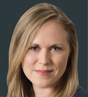
Krystal Azelton
Director of Space Applications Programs, Secure World Foundation,USAKrystal has a strong foundation of knowledge on government regulation, policy, and legislative affairs. At Secure World Foundation, she promotes improved governance and cooperation in the delivery and use of information derived from space systems. She is currently pursuing several areas of research on geospatial and crowdsourcing, space for the Sustainable Development Goals, and geospatial policy. She serves as the Conference Chair for the Summit on Space Sustainability.
Krystal’s background in international development, working on sustainable development projects in Africa and Afghanistan, is especially available for the geospatial community right now. With the establishment of the UN 2030 Agenda, there is growing interest in integrating geospatial capabilities with efforts to monitor and achieve the Sustainable Development Goals. Krystal’s knowledge of that industry is invaluable as space and geospatial actors seek to contribute in this broader initiative.
Krystal was the recipient of Society for Satellite Professionals International 2018 “20 under 35” Award and the United States Geospatial Intelligence Foundation’s 2017 Golden Ticket Award. She serves as Co-Chair of the Group on Earth Observations Programme Board and was recently nominated to be a member of NOAA’s Advisory Committee on Commercial Remote Sensing.
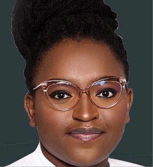
Laura Mugeha
Operations Analyst, Sanergy, KenyaLaura Mugeha is a Geospatial engineer based in Nairobi. She currently works as an Operations analyst with Sanergy, a social enterprise in Kenya. She is also a regional ambassador for YouthMappers, a student-led network where she supports chapters in Eastern Africa by providing training on open geospatial data and FOSSGIS.
Laura is also passionate about the diversity and inclusivity of all, especially women and girls, and has previously organized for #LetGirlsMap campaigns to address these challenges. Annually, she helps manage the African Women In Tech and Women in Analytics conferences to connect, empower, and educate women in STEM.
Together with other volunteers, Laura coordinates two geospatial communities in Kenya: OSM Kenya and OSGeo Kenya. A project she led was chosen as one of the 2020 community impact microgrant awardees funded by Facebook and HOTOSM. The project focused on mapping health facilities and measuring access to female health services. Through these communities, Laura has fundraised for community activities and has led several technical training sessions, mapathons, and meetups locally and within Africa.
In her free time, Laura volunteers with communities such as the Open Source Geospatial Foundation, the OpenStreetMap Foundation, and OSM Africa through working groups and committees.
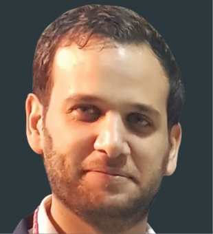
Lauren Guy
Founder & CTO, Utilis Corp, IsraelLauren is a unique entrepreneur in the water industry, a pioneer connecting the spheres of microwave remote sensing and non-revenue water issues, which has never been done before. He founded Utilis Corp in 2013 with one goal – to find water leaks from space. He led the idea generation, algorithm creation, and executed the initial field tests and construction of the initial product.
Since inception, Utilis Corp has expanded to 40 employees in three countries, with Utilis Corp opening an office in the United States in 2017 and an office in the UK in 2020. Utilis has customers and projects in 55 countries and counting, with over 450 clients, expanding each year by providing a solution to cut the time and cost of finding leaks and reducing non-revenue water. So far it is estimated that Utilis Corp has saved 7,200 Million gallons of water, 17,000 MGW of Energy, and 11,300 Metric Tons of CO2 through the leaks found.
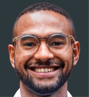
Lieven Slenders
Geospatial Manager, Gather, UKIn the last nine months Lieven has led the creation of new data tools to help transform how decision-makers use data to improve sanitation infrastructure and services for 350,000 people. Lieven has led Gather team to design a new data standard to improve data sharing, a new sanitation risk index to improve analysis and a new sanitation data platform to improve the accessibility of geospatial visualizations. The work is about to go into its next phase, working in partnership with four sanitation organization in Antananarivo, the capital city of Madagascar. Lieven also helped oversee the creation of a new tool to improve the integrity of location data for sanitation data in fifty countries.
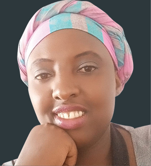
Lilian Ndungu
Thematic Lead-Agriculture and Food Security, RCMRD, KenyaLilian pioneered and led the setting up of the Food Security theme at RCMRD as well as the conceptualization, design and implementation of projects, tools and services for supporting government and communities to make data driven decision making in agriculture. She has led the establishment of regional and national crop monitors; supporting the Kenya crop insurance program through tools for sampling that resulted in a 70% reduction in implementation costs; and a rangelands monitoring system that is easing access to monitoring; and early warning information for pastures in Kenya, and that is being used by both the Government Drought Agency (National Drought Management Authority), as well as conservation communities.
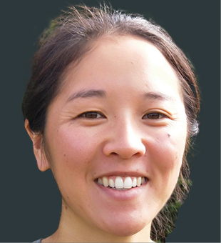
Lindsay Chan
Geospatial Analyst, Department of Conservation, New ZealandAs part of a larger Predator Free 2050 initiative in New Zealand, Lindsay and the team at the New Zealand Department of Conservation (DOC) use GIS and smart maps to enable the removal of the feral cat population—along with countless mice and a healthy herd of feral pigs— that live on subantarctic Auckland Island. The cats have been destroying the native flora and fauna on this windswept island for more than two centuries. The project, known as Maukahuka Pest Free Auckland Island, uses GIS to track the cats’ movements, map their locations in relation to endemic bird populations, and develop a removal strategy. Alongside her GIS work, Lindsay has helped bridge the technology gap for the team applying the use of drones, artificial intelligence for trail camera footage review and GPS collars.
Outside of her work at DOC, Lindsay established a charitable trust called Watch This Space that captures photos and the stories behind street art in Christchurch, which contributes to the city's history throughout its rebuild post 2010 and 2011 earthquakes. The project which started out as mapping is now a crowd sourced project where anyone can contribute to updating the map.
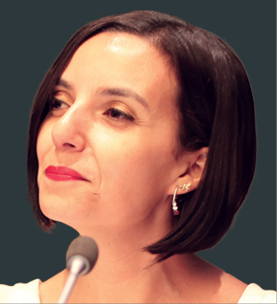
Macarena Pérez García
Head of Strategic Partnerships and Networks, Institute for Disaster Resilience, ChileMacarena led the development of technological initiatives for the use of geospatial information in Chile called GEONODO. In 2020, she developed the Covid-19 territorial information viewer, combining a range of Covid-19 and wider statistics, administrative boundaries, and government restrictions on the population, making it a very powerful online tool. The dashboard made news headlines and was used by the President.
Macarena has worked in the public sector in Chile in different capacities with 11 years of experience. From 2017, she was Executive Secretary of the National System for Territorial Information Coordination (SNIT-SDI Chile). In this role she was in charge of the National Coordination System of Territorial Information - IDE Chile, responsible for the Chile NSDI, the Inter-ministerial Technical Committee, 10 thematic work groups related to the standardization of geospatial information and the working group related to emergency situations before disasters. Internationally, Macarena led the Americas Geospatial Data Infrastructures Working Group at UNGGIM and the publication of the Paper “The Americas’ Spatial Data Infrastructure”.
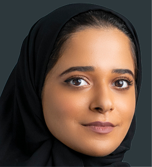
Maitha Alnuaimi
Geographic Information Network Section Manager, Dubai Municipality, UAEMaitha currently manages two major sections in the GIS Center at Dubai Municipality – the Geographic Information Network Section and the Geographic Information Data Section (acting manager). As acting manager of the data section, Maitha played a significant role in the COVID-19 pandemic prevention and control using geospatial analytics capabilities.
Maitha is Dubai’s first female Emirati drone pilot specialized in 3D mapping. She obtained her professional license as a drone pilot from the Dubai Civil Aviation Authority after going through an intensive training. Working with the Municipality has given her access to specialized drones, which she and her team at the GIS Centre use to collect data of and around Dubai. The high resolution imagery produced from the drones are used in various GIS projects.
Maitha graduated with distinction from the United Arab Emirates University in 2012 with a bachelor's degree in Geographic Information System (GIS). In 2019, she graduated from the National Programme of Artificial Intelligence with a diploma in Artificial Intelligence.
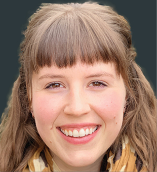
Morgan A. Crowley
Ph.D. Candidate, McGill University, CanadaAs a pyrogeographer and remote sensing scientist, Morgan’s research asks how satellite imagery can be leveraged to map and analyze the impacts of wildland fires using rapid and scalable approaches. Within this framework, Morgan uses cloud-based remote sensing platforms, innovative image fusion algorithms, and multi-source satellite data to provide methodological advances for addressing pressing fire monitoring challenges. An example of her work includes fusing freely available Landsat-7, -8, Sentinel-2 and MODIS data using a Bayesian synthesis algorithm to reconstruct fire progressions in Google Earth Engine (Crowley et al. 2019, Remote Sensing of Environment; Remote Sensing Letters). This research advances her field by improving near¬-term fire disturbance monitoring and by providing new insights into fire ecology at an increasingly uncertain time.
In addition to her cutting-edge research, Morgan is committed to increasing the visibility and support of women and underrepresented minorities in the field of remote sensing through Ladies of Landsat. As a main organizer of Ladies of Landsat, Morgan has initiated a Manuscript Monday effort to highlight women-led research, co-founded the GeoMixer virtual networking event for earth observation experts, and engaged in extensive outreach with other like-minded organizations.
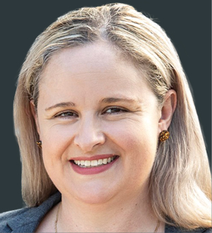
Narelle Underwood
Surveyor-General of NSW, NSW Department of Customer Service - Spatial Services, AustraliaNarelle Underwood was appointed the 25th Surveyor-General of NSW in 2016 – the youngest person in over 200 years and the first female to hold the position. A major role within State Government, she is responsible for the leadership and regulation of the land and mining surveying profession and plays a key advocacy role in the geospatial industry.
Leading a team of 70, she is responsible for delivering technical projects, policy and legislation and digital transformation. She is the president of the Board of Surveying and Spatial Information (BOSSI), Chair of the Geographical Names Board (GNB), the NSW Surveying Taskforce and Deputy-chair of the Intergovernmental Committee on Surveying & Mapping (ICSM).
Working in a profession where the average age is 52 and women account for only 3%, Narelle is passionate about women in leadership and improving the diversity of her profession and other STEM based careers. As a Superstar of STEM and brand ambassador for the Get Kids into Survey program, she is working to increase the public visibility of women in STEM to encourage the next generation, including the promotion of surveying in schools. She is also an energetic mentor for young professionals.
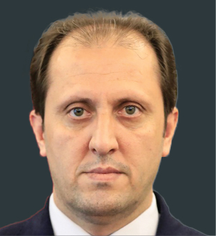
Noorullah Stanikzai
Vice President General for Geospatial Affairs, National Statistics and Information Authority, AfghanistanNoorullah leads the application of geospatial technology in Afghan government, enabling better governance to prevent land grabbing, illegal mining, illegal deforestation by human interventions as well as more transparency for distribution of food and aid to disaster-vulnerable people.
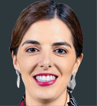
Paloma Merodio
Vice President and Member of the Board, INEGI, MexicoIn April 2017, Paloma was appointed Vice President of the National Institute of Statistics and Geography (INEGI), coordinating the work of the National Subsystem of Geographic Information, Environment, and Urban Planning. In December 2017 she assumed the Presidency of the United Nations Regional Committee on Global Geospatial Information Management for the Americas (UN-GGIM). Previously, she worked at the Ministry of Social Development as General Director of Evaluation and Monitoring of Social Programs.
Paloma has participated as a consultant for the government and private companies in various projects. In Fundación IDEA, she collaborated as a consultant in economic and social development issues. She has also been a consultant for international organizations such as the World Bank working on water projects in Indonesia, and for the International Finance Corporation (IFC) on evaluation issues. She has volunteered at BRAC, Bangladesh, the Children's Fund of Mexico, Grameen Bank and the IMSS Volunteer. Her interests lie in generating high quality accessible information for decision making.

Patrick Cozzi
CEO, Cesium, USAPatrick Cozzi is the CEO of Cesium, where he works at the intersection of technology and business to lead the open platform for 3D geospatial and bring 3D geospatial solutions to markets across earthworks, defense, and infrastructure. He is a longtime advocate of open source and open standards to enable community collaboration.
Patrick started Cesium and 3D Tiles, an OGC Community Standard for massive heterogeneous 3D geospatial data. He is the co-creator of glTF, the open-standard 3D model format, and served as the former chair of the Khronos 3D Formats Working Group. Patrick has taught hundreds of computer science and graphics students at the University of Pennsylvania, and has authored or contributed to over ten books on mapping, computer graphics, and games.
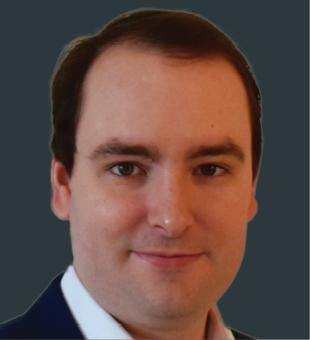
Patrick O’Neil
Chief Data Scientist, BlackSky, USAPatrick is currently the Chief Data Scientist at BlackSky, where he started working years ago as an intern. During his internship, Patrick developed the core algorithms that form the foundation of Spectra AI, the company’s AI/ML-powered predictive geospatial analytics platform. Spectra AI automatically analyzes millions of data elements each day, including satellite imagery, IoT data and information from global sensor and signal networks, to track activity around the world. When the global pandemic hit, Patrick and his team built a system to monitor social mixing from space, integrate the observations into the latest epidemiology models, and provide critical risk assessments to the U.S. Air Force.
Patrick is an affiliate faculty member at George Mason University and works closely with the school’s Geography and Geoinformation Sciences department and the Center for Mathematics and Artificial Intelligence. He serves on the Dean’s Advisory Board and the diversity team for the College of Science. He also serves on the Virginia Dept. of Education Data Science Advisory Board, helping define mathematics curricula for the state’s high schools.
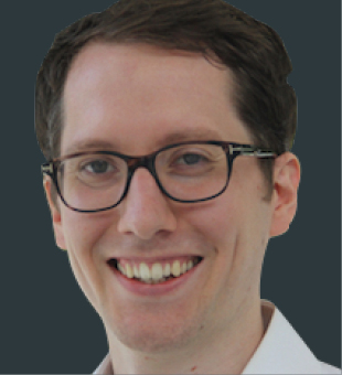
Rob van Son
Project Lead Digital Underground, Singapore-ETH Centre, SingaporeRob leads the Singapore Digital Underground project, a collaboration between Singapore Land Authority and the Singapore-ETH Centre with the support of leading industry parties to establish a reliable map of subsurface utilities in Singapore. He co-founded Digital Underground Connect, a community of practice on the topic of underground digital twins, contributing to the development of knowledge and skills of professionals in Singapore and beyond.
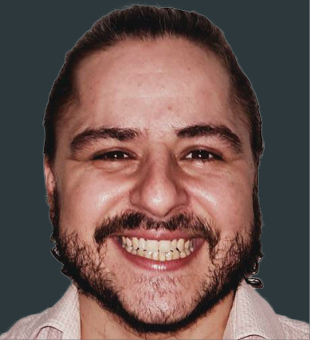
Rodrigo Peixoto Ferrão
Senior GIS Consultant, Accenture, BrazilRodrigo leads the GeoInsights team at Accenture, where he is responsible for deliveries and innovative projects using GeoAnalytics, GIS, APPs, AR and Machine Learning. He envisions to create a new area 100% dedicated to geo-technologies within the company. In his previous affiliation, he worked on a geotechnical project, merging the use of GIS tools and fieldwork to generate a predictive model for landslide. The model is still being utilized by the City of Rio de Janeiro to assign priority slopes for its risk mitigation projects. Recently, Rodrigo won the FME Hackathon 2020 in the People's Choice Award category with the Predictive Analysis of COVID-19 in Rio de Janeiro, a solution to help with school return planning.
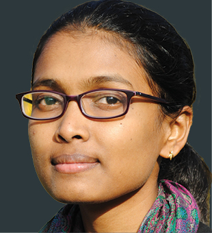
Rohini S. Swaminathan
Emergency Specialist, UNICEF, USARohini works on improving geospatial innovation and promoting its adoption in international organizations, from UNICEF, World Food Programme, UN Development Programme, World Health Organization to the UN Institute for Training and Research. Prior to her career with the United Nations, she worked with NASA DEVELOP program in utilizing satellite-based Earth observations for social good. Throughout her career, she has been widely-deployed to build geospatial solutions in the Global South, in South Sudan, Afghanistan, Djibouti, Eswatini, Bangladesh and more.
Rohini aspires to see a geospatial revolution in the humanitarian and development world, where it is mainstreamed and best utilized to achieve the Sustainable Development Goals. She is an avid public speaker in promoting the use of geospatial technology, especially among high school and undergraduate students. She remains deeply committed to make geospatial technology accessible for all, especially in the farthest, remotest corners of the planet. As a steering committee member of Women in Geospatial+, Rohini also plays an active role in promoting gender equality in the industry.
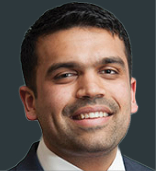
Siddharth Pandey
Senior Associate, Senior Geospatial Technology Manager, Dewberry Engineers, USASiddharth manages Dewberry’s Geospatial Community of Practice; a venue for geospatial professionals to share best practices, tips & tricks, and professional development opportunities to support each other.
He was recently selected as a member of URISA’s Vanguard Cabinet 2021-2023 cohort; an advisory board focused on supporting young geospatial professionals by encouraging them to be active in the industry and providing them with various mentorship, networking and professional development opportunities to help them be successful.
As an alumnus of Penn State University, he participates in the College of Earth and Mineral Science’s annual summer event to help the incoming freshmen class get acclimated to the program. He speaks to the students in the Geography program; sharing advice and things to think about as they progress through the program and prepare for graduation.
Siddharth also supports emerging professionals’ groups at Dewberry and other organizations, including the Maryland State Geographic Information Committee (MSGIC). During his time on the executive committee, he helped MSGIC launch a young professionals initiative that conducts meetings, trainings, panel discussions and other activities to help students and those new to the industry with networking, formatting their resumes, finding jobs and getting started in their geospatial careers.
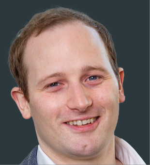
Steve Marsh
Founder & CTO, GeoSpock, UKSince founding GeoSpock, Steve has been the primary driver behind the company's vision to unlock the value of spatial analytics for all, with his ideas forming the basis for the company’s technology development and generating significant industry support in the form of over $32 million of investment from leading venture capital and technology firms. GeoSpock DB, the innovative product for which he led the design and creation, is a high performance space-time database designed specifically for the data-fusion and complex analytics tasks needed to extract value from IoT and connected device data. GeoSpock DB has already been used by smart cities to help conduct large scale traffic pattern analytics, by maritime organizations to quantify pollution emissions and by the telecommunications sector to improve understanding of customer behaviors in the real world. Its broad applicability to a range of challenging spatial problems sets a strong platform for further success in future, with Steve’s knowledge and vision continuing to play a decisive role.
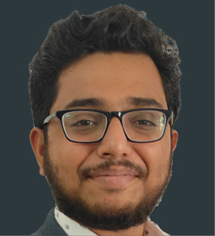
Sujay Sreedhar
Chairman & Co-Founder, Society for Space Education, Research and Development, IndiaSujay’s passion for Space has always kept him busy with space-related projects which made him start SSERD – Society for Space Education, Research, and Development. He is knowledgeable, collaborative in spirit, and practical, making him invaluable in both engineering and brainstorming sessions, and a natural leader during the execution of projects and events. He was able to reach more than 8000 students through various space Programs and traveled to the Philippines and Sri Lanka to establish a worldwide outreach initiative to engage students in space, STEM, and dreaming big. For his passion and dedication, he recently received an award and appreciation from Shri Rosaih, Former CM of Andhra Pradesh.
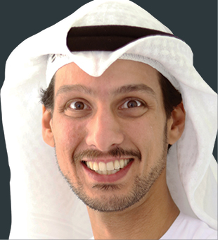
Talal M. Al-Kaissi
Vice President - Space Program & Special Projects, Group 42, UAETalal joined the UAE Space Agency in September 2018 as an Advisor to the Director General on Strategic Projects. One of his core focus functions is to activate the UAE Space Agency’s Investment Promotion Plan, and the development of a local Space Economy in the UAE, outside of the telecommunications realm and with an emphasis on attracting space startups and investments to the UAE. With no technical background, Talal has developed knowledge and built his own network with the global commercial space sector with a vision to create a space economy in UAE. Within 2 years, Talal has helped the Space Agency create an enabling environment for the private sector in the UAE to flourish.
As in September 2020, Talal took a new role at G42 to lead the development of a space vertical within G42 inclusive of an investment thesis, products and offerings that can leverage the robust AI and cloud computing capabilities G42 has, as well as provide support to the UAE national space program’s ambition to develop a commercial space ecosystem.
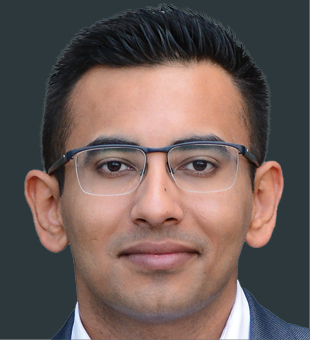
Tushar Chhabra
Co-Founder & CEO, CronAI, IndiaTushar worked on a drone that was selected and showcased at the Fort Worth Convention Centre by Lockheed Martin when he was 21. He founded Cron Systems in 2015 which was a startup to increase situational awareness through 3D sensors of the defense forces, airports and in mobility. He spent the foundational 6 months at the hostile Indian borders trying to understand why one of the most elite armies in the world was relying on artillery and manpower rather than deploying 3D sensors that could act as the first line of defense. Under Tushar's leadership, Cron was accelerated by global names like TechStars and Cisco. Having experienced the gaps within the 3D sensor industry first hand, in 2019 Tushar set up CronAI to build an edge inference perception platform that would plug the 3D sensor market gaps. By combining AI, machine learning and self-supervised learning with true heterogeneous hardware Architecture for 3D data processing, CronAI is challenging the established approach to perception strategy.
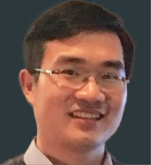
Xiaojiang Li
Assistant Professor, Temple University, USAXiaojiang developed the Treepedia project, which aims to map and quantify street greenery for cities around the world using Google Street View and machine learning. His innovation in bringing geo-tagged street-level images in urban studies has received huge social impacts. The “green view index” he proposed has been widely used in many cities to manage the urban green space. His research aims to provide a better understanding of urban socio-environmental systems and explore how computation helps us to tackle socio-environmental challenges. He has been awarded Microsoft AI for Earth Award twice. His work has been featured in popular media outlets, including TIME, Scientific American, Wall Street Journal, Forbes, The Guardian, Wired, CBC News, Fox News, The Atlantic, Associated Press, and MIT News.
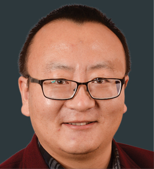
Zhenlong Li
Associate Professor, University of South Carolina, USAZhenlong leads the research team at Department of Geography, University of South Carolina to develop approaches to harvest geotagged data from social media to analyze the spatial patterns and map the impacts of a disaster event. The ability to analyze millions of social media posts per minute in near real-time will provide solutions for the state Emergency Response Centers (EOCs) to determine where and when the impacts are occurring and what resources are needed, which ultimately could save lives. His recent work on understanding human mobility during the COVID-19 era using social media data has gathered considerable interest from research communities and funding agencies such as the National Science Foundation (NSF) and National Institute of Health (NIH).
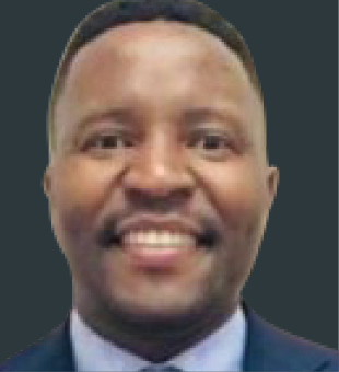
Zipho Tyoda
CEO, KaTZ Smart, South AfricaZipho has over 10 years of cross-sector work experience – as a researcher at Council for Geosciences, Deputy Director/Acting Director at the Department of Science and Technology (DST), and most recently CEO of KaTZ Smart, a geosciences and remote sensing consultancy focused on Renewable Energy, Synthetic Aperture Radar Slope Stability solutions and sustainable cities geospatial products. He represented South Africa at the Group on Earth Observations as a program board member and as a co-chair for the data sharing working group. He played a key role in the opening up of Japanese Space Agency (JAXA) Synthetic Aperture Radar satellite data to the scientific community; opening access to the Chinese Gaofen1 satellite data archives; and the provision of a 4 petabyte open cloud-based data processing platform by Google Earth Engine to the user community.